Moab from Landsat 8
I've still got the Colorado Plateau on my mind and spent some time yesterday dressing up the image below for a Mapbox Instagram post.
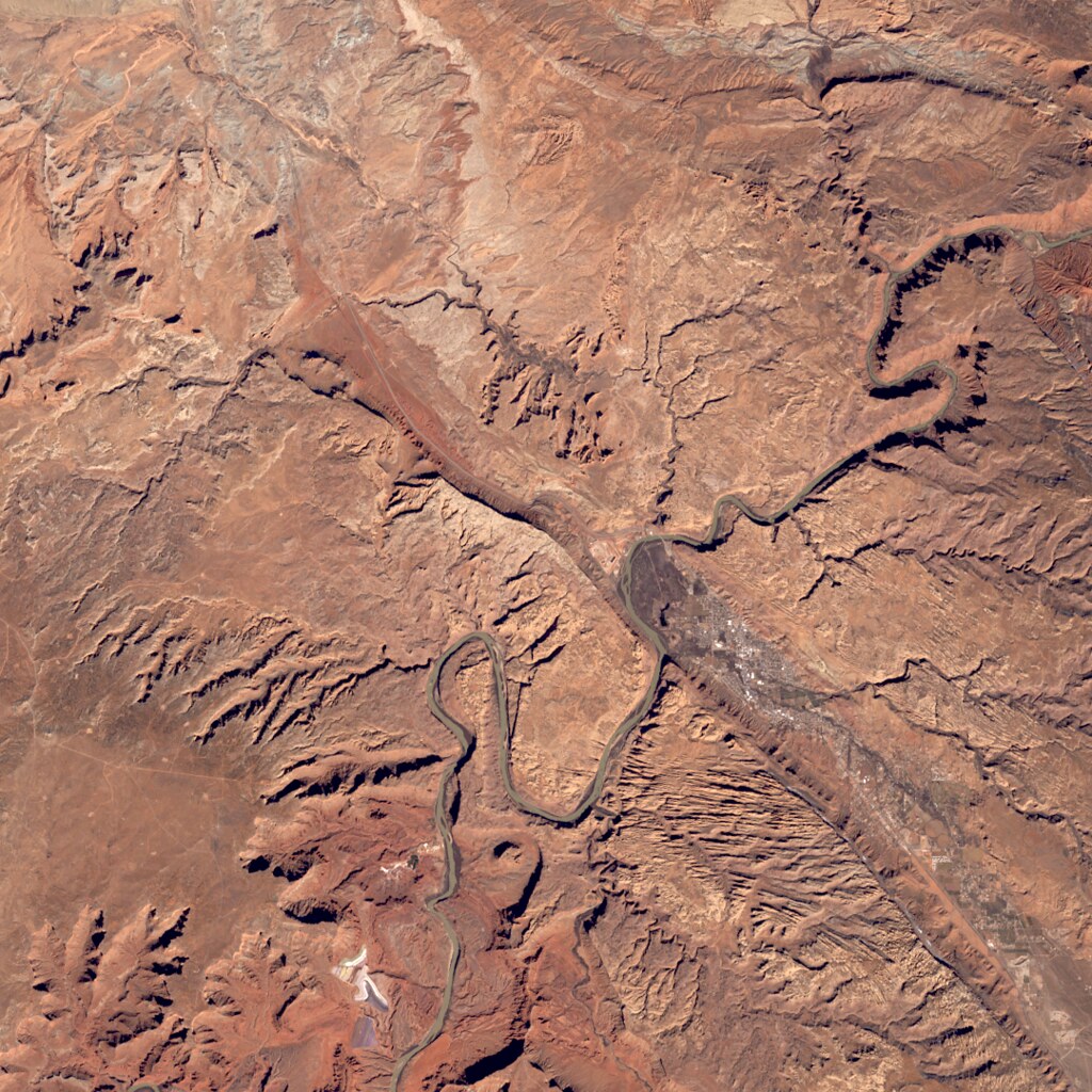
2016-02-28 was a clear day in Southeastern Utah
I used Development Seed's excellent landsat-util utility to find and
download the source imagery, rio stack (from Rasterio) to combine
individual bands into an RGB TIFF, rio clip to extract a smaller region,
rio convert to scale and reformat the 16-bits per band TIFF into a 8-bit
per band PNG, and Imagemagick for sigmoidal constrast enhancement and alpha
adjustment.
All of the above was done using Python 3.5.1, which is now an option for landsat-util 0.13.0.