Rasterio, GDAL, GeoTIFF, and REST on the Mapbox blog
Last Friday, I finished a post for the Mapbox blog: https://blog.mapbox.com/build-for-the-cloud-with-rasterio-3254d5d60289. It was a pleasure to write about a new industry best practice, give some props, and toot my favorite open source project's horn a bit. I'm pleased that it's been well received.

Roy T. Fielding Has a Posse, by Paul Downey. https://www.flickr.com/photos/psd/421186578/
I had fun coming up with the thesis that the cloud-optimized GeoTIFF format
developed by Even Rouault (at
https://trac.osgeo.org/gdal/wiki/CloudOptimizedGeoTIFF) and evangelized on
a new web site by Chris Holmes (http://www.cogeo.org/) is not just an image
format, but an internet application media type and that GDAL's
curl-based virtual file system is practically a web browser. I especially
enjoyed pointing out that I think that systems using cloud-optimized GeoTIFFs
can be much more in the classic REST style than most of the "REST APIs" we use
today. In most geospatial REST APIs, the data format is of minor importance,
relegated to a f=format parameter in a query string. In the architecture
emerging around GDAL and cloud-optimized GeoTIFFs, the GeoTIFF representation
of a raster plays a major role in directing the GDAL browser. It's not just one
of many roughly equivalent flavors of imagery.
On Twitter today, I floated the idea of registering a media type for the cloud-optimized GeoTIFF format that would distinguish it from ordinary TIFFs. It could be interesting to collaborate on this with other folks in the business.
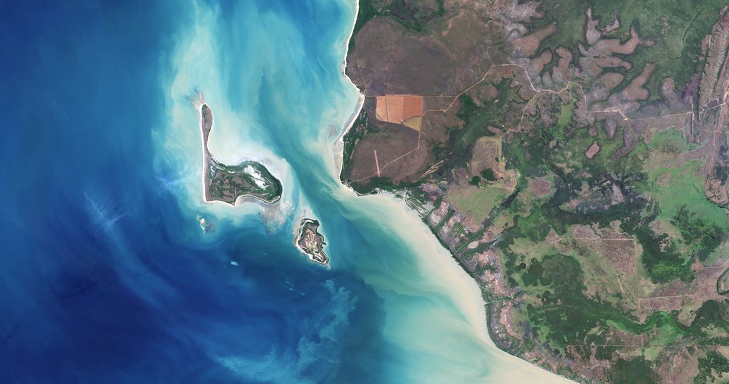
Finally, I don't know when Charlie Loyd discovered an old man yelling at the cloud in Landsat imagery near Darwin, Australia, or why he saved it until my blog post, but I'm grateful he did.