Lakes of Ounianga
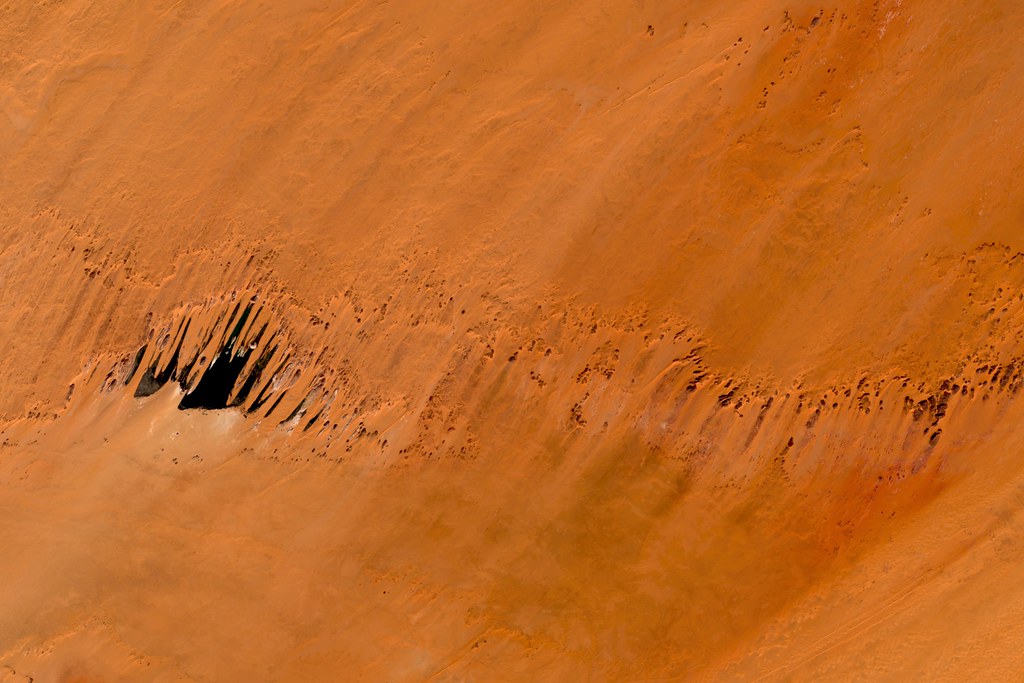
While working on a blog post at work last week I became fascinated with Ounianga Kébir and Ounianga Sérir, the Lakes of Ounianga. Elimé, the largest of the 10 lakes in Ounianga Sérir (below), is 4.2 square kilometers and is filled from an aquifer with water that fell on the Sahara region 5000-9000 years ago. Today the annually averaged precipitation in the region is less than 2 mm.
Landsat RGB (true color), Ounianga Sérir, Chad. Landsat imagery is courtesy of NASA Goddard Space Flight Center and U.S. Geological Survey.
At this scale the surface of Northern Chad appears streaked, as though it has been washed with a brush. I suspect that it might stand out even more in images made with different Landsat band combinations.
I had never looked before and was pleasantly surprised to find that Mapbox has pretty good coverage in the area. The imagery is from DigitalGlobe.
Lake Yoan here is 30 kilometers west of Elimé.